| Plan for a navigation chiefly by canal |
Plan for a navigation chiefly by canal from Longbridge near Burslem to Newcastle, Lichfield, Tamworth and Wilden, Co Derbys., surveyed by James Brindley, 1760
SRO 593/H/9/1
©Staffordshire and Stoke on Trent Archive Service
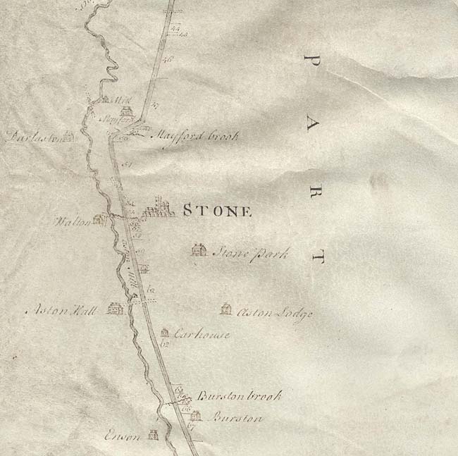
For the history and development of Staffordshire’s canals, the large survey plan prepared by James Brindley for a canal down the Trent Valley from Longport near Burslem down to Lichfield, Tamworth and into Derbyshire, is very significant. This canal was to link Staffordshire with Liverpool in the north-west and Hull in the north-east. The Staffordshire and Worcestershire Canal, also built by Brindley between 1766 and 1772, provided access from a junction with the Trent and Mersey Canal at Great Haywood, to the port of Bristol.
This plan is dated 1760 and shows the proposed line of the canal all the way down the Trent Valley. All of the local landowners have been noted in the expectation that they will benefit from the venture and will therefore want to speculate to accumulate by subscribing to the costs. The section shown here is for the section through the town of Stone, which is now styled as ‘the Canal Town’.
|
|